


A LIVING LABORATORY ON THE CÔTE D'AZUR
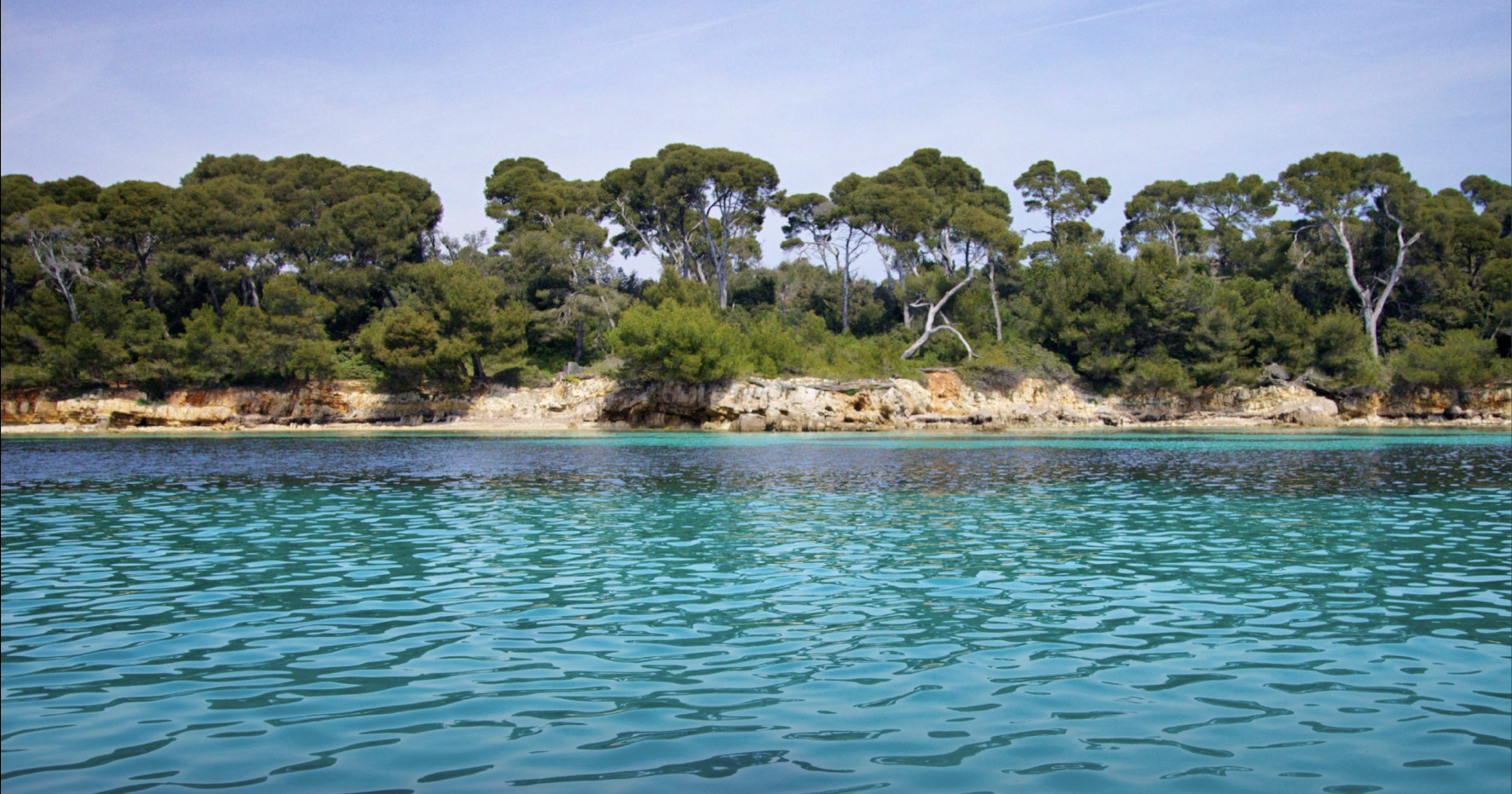
Just one kilometre from Cannes, the Lérins Islands offer a unique scientific playground. Generations of MARRES students have collected, analysed and shared data on the marine biodiversity of the archipelago, transforming a field trip into a long-term scientific, educational and conservation project.
A natural area under increasing human pressure
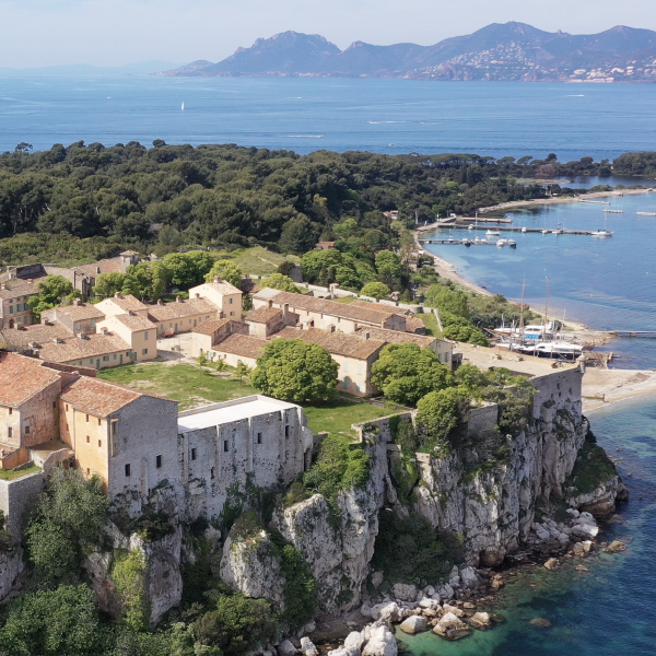
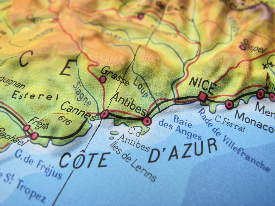 The Lerins archipelago lies just off the coast of Cannes
The Lérins archipelago is part of a Natura 2000 site and hosts a typical ecosystem of the north-western Mediterranean. Located only one kilometre from Cannes, however, it is also exposed to strong coastal urbanisation and intense summer tourism.
Local authorities, associations and private stakeholders are actively involved in protecting this ecosystem. The City of Cannes has implemented several conservation measures, local associations raise public awareness and promote more responsible behaviours, and consultancy companies regularly monitor the physico-chemical quality of the water.
However, the biodiversity itself had only been studied occasionally before the start of our project, as monitoring marine biodiversity requires time, funding, expertise and field capacity. For more than a decade, this is what the Lérins Biodiversité project has aimed to provide, by bringing together scientists, students and local partners.
DISCOVER THE ARCHIPELAGO geography, history, pressures
Who we are
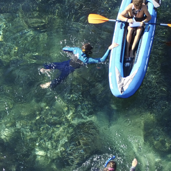
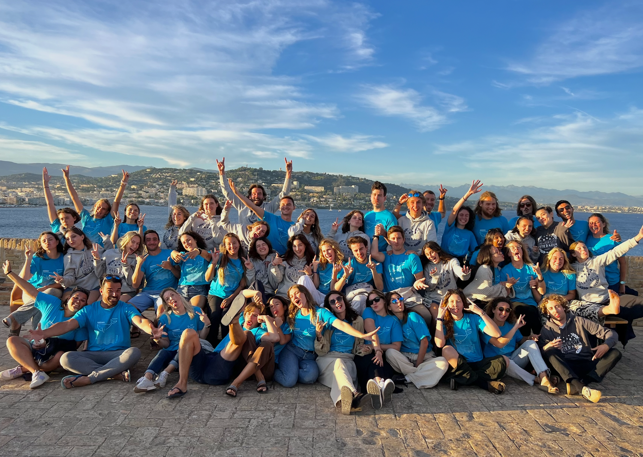 MARRES students during the operations at sea in September 2024
The project is led by students and staff from the MARRES programme at Université Côte d’Azur. For more than a decade, successive cohorts of students have contributed to studying the state of the marine ecosystem around the Lérins Islands and monitoring its evolution over time.
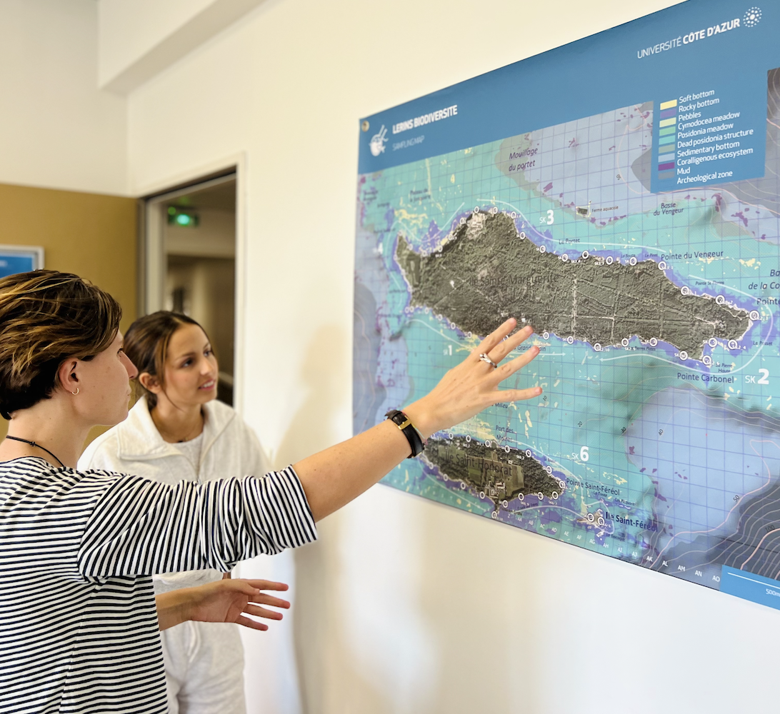
Each year, the same core survey is conducted to document observable biodiversity across 60 stations of 30 m² distributed around the archipelago. As the project develops, additional studies are progressively being added to address more specific scientific and conservation questions.
Today, around 50 MARRES students spend four days on the islands in early September. The first day is mainly dedicated to preparation and field training. The second day focuses on the historical survey of the 60 stations around the islands, known as Leg 1. The third day is dedicated to more specific scientific hypotheses designed by Year 2 students, known as Leg 2. The fourth day is used to secure the data into the project databases and discuss the first results.
What we do
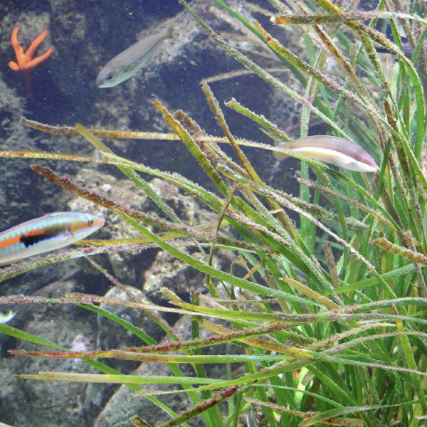
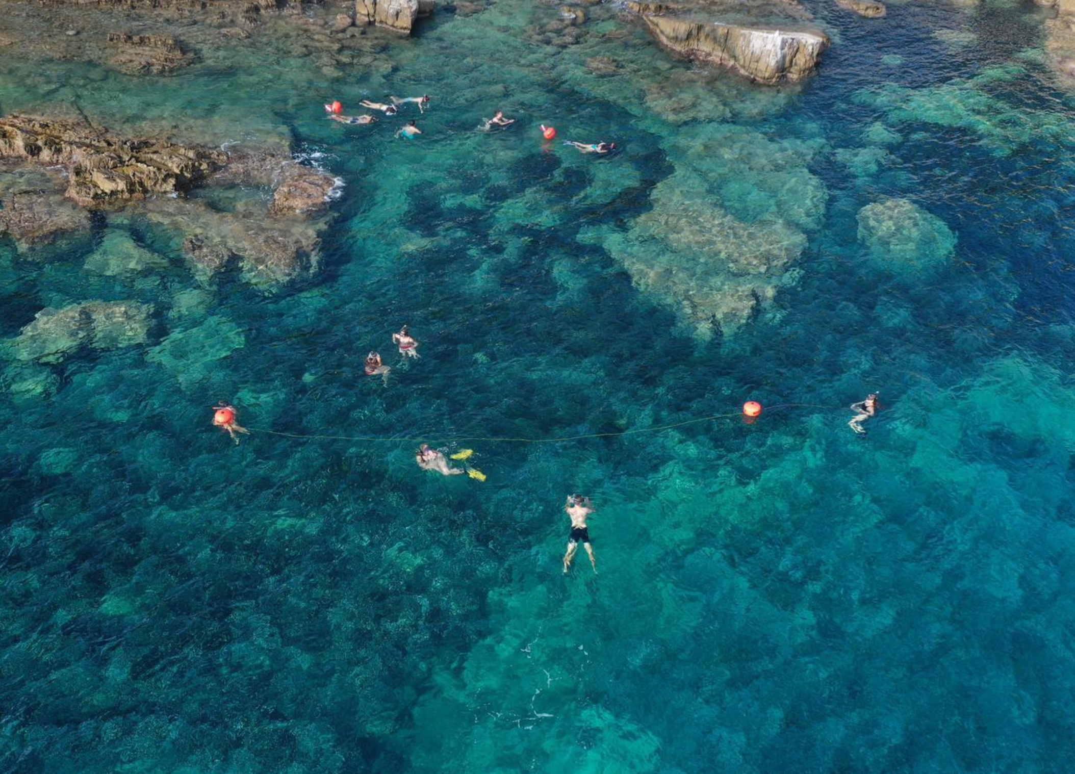 A group of observer during the operations at sea in September, around a station of observation
The main scientific objective of the project is to understand how marine biodiversity around the Lérins Islands is structured by environmental conditions and human pressures.
To address this question, the core mission, now referred to as Leg 1, is organised around six teams working across 60 stations of 30 m², distributed approximately every 200 metres around the islands. At each station, students record observable biodiversity together with environmental and human-related factors.
In recent years, more specific hypotheses have also been tested during Leg 2. These have included, for example, the potential influence of an aquaculture farm on water quality and biodiversity, comparisons between sampling methods, and the effects of hydrodynamics, such as wave exposure, on animal and plant communities.
MORE ON WHAT WE DO from the Sea to the clasroom
An integral part of the MARRES learning strategy
Beyond its scientific and conservation dimensions, the Lérins Biodiversité project was designed as a pedagogical tool, allowing students to experience the scientific process in a concrete and integrated way.
Students reflect on sampling design to answer specific scientific questions, take part in a real field mission at sea to collect data, and then analyse their own datasets in class. These data are used in several MARRES modules, including SCAN (The Scientific Adventure), MALM (Multivariate Analysis & Modelling), and TOOLBOX (Scientific Communication), instead of relying only on textbook exercises.
The results can also be used for science outreach with the public, for example through the MARRES To The World initiative (check our results).
This hands-on approach helps students engage more deeply with statistics, field ecology and the scientific process as a whole.
OUR MAIN RESULTS
A sneak peek on the project
Video from R. Weston